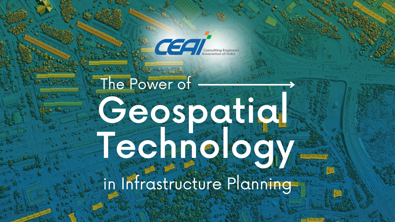
In the dynamic world of modern infrastructure planning, geospatial technology has emerged as a transformative tool, revolutionizing the way engineers design, construct, and manage projects. Leveraging geographical data and satellite imagery, this powerful technology provides valuable insights and analytics that support informed decision-making, optimize resource allocation, and ensure efficient project execution.
Precise Mapping and Visualization
One of the key strengths of geospatial technology lies in its ability to offer precise mapping and visualization of project sites. By providing a comprehensive understanding of the terrain, land use, and environmental factors, engineers can make well-informed decisions that shape the project’s direction from the outset. Armed with this vital information, potential risks such as flood-prone areas or unstable grounds can be identified and addressed proactively, ensuring that infrastructure projects are built with safety and resilience in mind.

Efficient Resource Allocation
Geospatial technology’s data-rich insights extend beyond visualization; they play a crucial role in optimizing resource allocation. Through careful analysis of geospatial data, project teams can identify the most efficient routes and alignments, minimizing land acquisition costs and mitigating environmental impact. Moreover, this technology empowers engineers to make data-driven decisions on critical aspects such as the efficient allocation of construction materials, equipment, and labor, contributing to streamlined project management and improved productivity.
Enhancing Infrastructure Asset Management
For existing infrastructure, geospatial technology is a game-changer in asset management. By enabling real-time monitoring of structures, engineers can stay one step ahead in maintaining their health and performance. Geospatial data facilitates the proactive identification of maintenance needs and assessments of structural integrity, enabling timely repairs and ensuring the longevity of critical assets. This preventative approach not only optimizes resources but also enhances the safety and reliability of infrastructure assets.
Integration with Building Information Modeling (BIM)
The power of geospatial technology extends even further when integrated with Building Information Modeling (BIM). This synergy enables seamless project coordination and collaboration among stakeholders. Through virtual visualization, decision-makers can anticipate and resolve potential conflicts in the design phase, optimize construction processes, and ensure a smooth progression from planning to execution.

Advancing Smart City Planning
Geospatial technology is at the forefront of smart city planning, revolutionizing urban environments. By optimizing traffic flow, monitoring environmental parameters, and analyzing population data, engineers can create sustainable and resilient cities. This data-driven approach fosters intelligent urban planning that prioritizes the well-being of citizens and the environment.
Conclusion
At CEAI, we recognize and harness the tremendous power of geospatial technology in infrastructure planning. By leveraging this cutting-edge tool, we deliver innovative, data-driven solutions that address today’s challenges and shape the infrastructure of tomorrow. Embracing geospatial technology in the planning and execution of infrastructure projects leads to safer, more efficient, and sustainable outcomes, paving the way for a connected and resilient future.